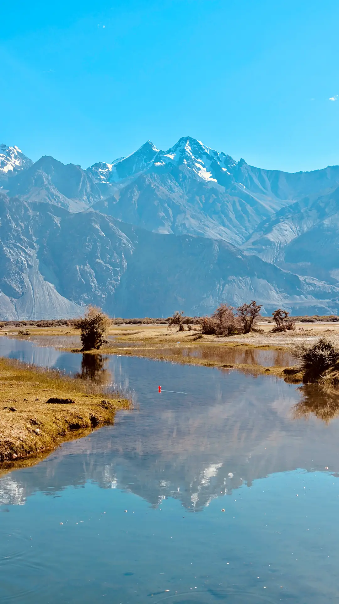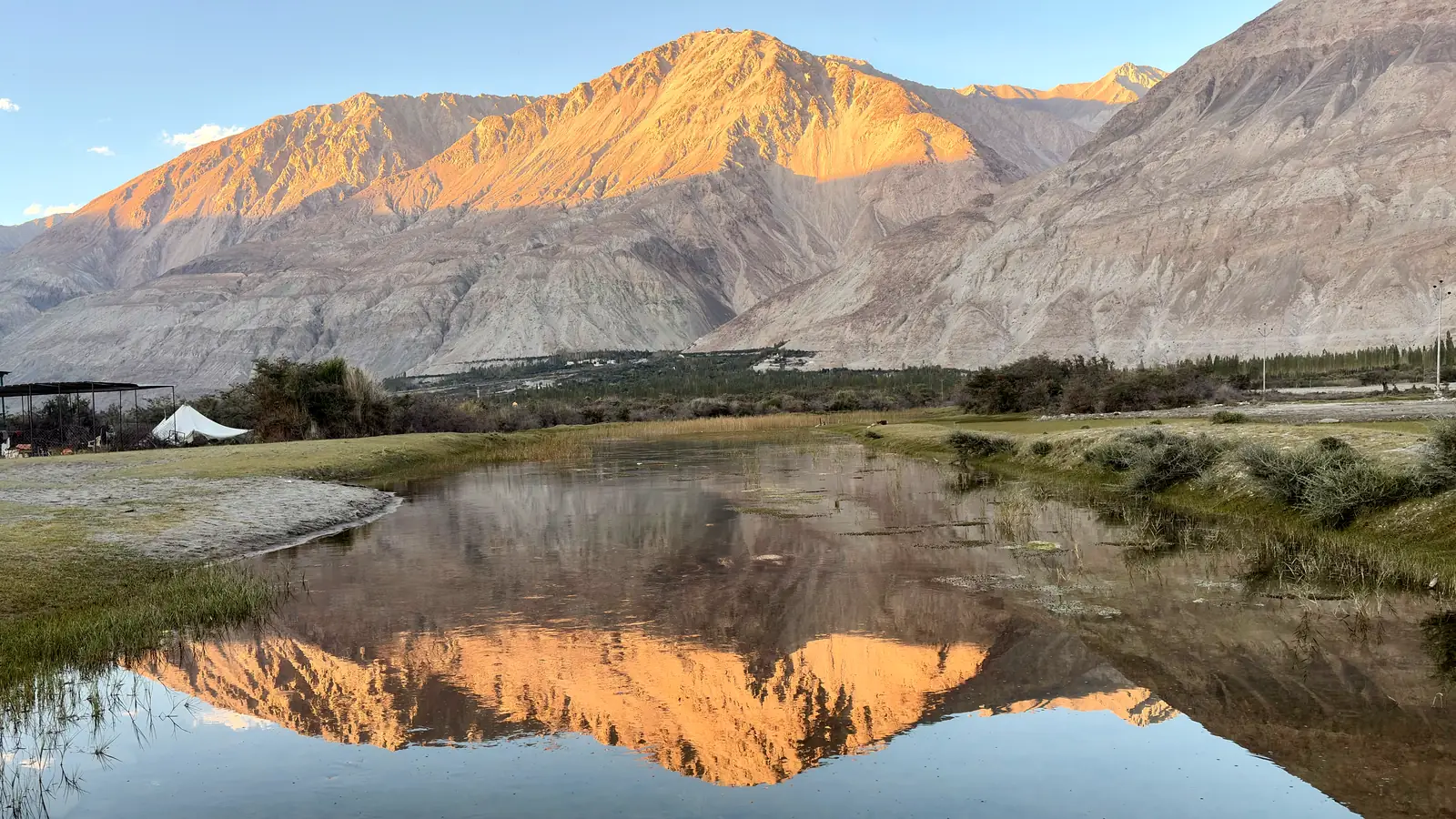
Evening light on a bare mountain range reflected in still water in the Nubra Valley

Ladakh · September 2026

Not So Fast

Twelve days and one motorcycle over the highest road passes in the world, ending where the road does: at a monastery you can only walk to.

Ladakh sits behind the main wall of the Himalaya, so high the monsoon gives up before it arrives. What’s left is desert at 3,400 metres, eleven thousand feet: rock, light, and rivers born from ice. Everything alive presses close to the water. From a distance the villages are green thread, stitched into stone.

In September I rode through it for twelve days on a Royal Enfield Himalayan. North over Khardung La into Nubra. East to Pangong. Then west into Zanskar, Ladakh’s farthest valley, where the road is so new the valley hasn’t decided what it thinks of it.

The Border Roads Organisation builds and rebuilds every road up here, and posts advice on yellow boards as it goes. Most of it rhymes. One board in Nubra said in seven words what the mountains had been saying all along.

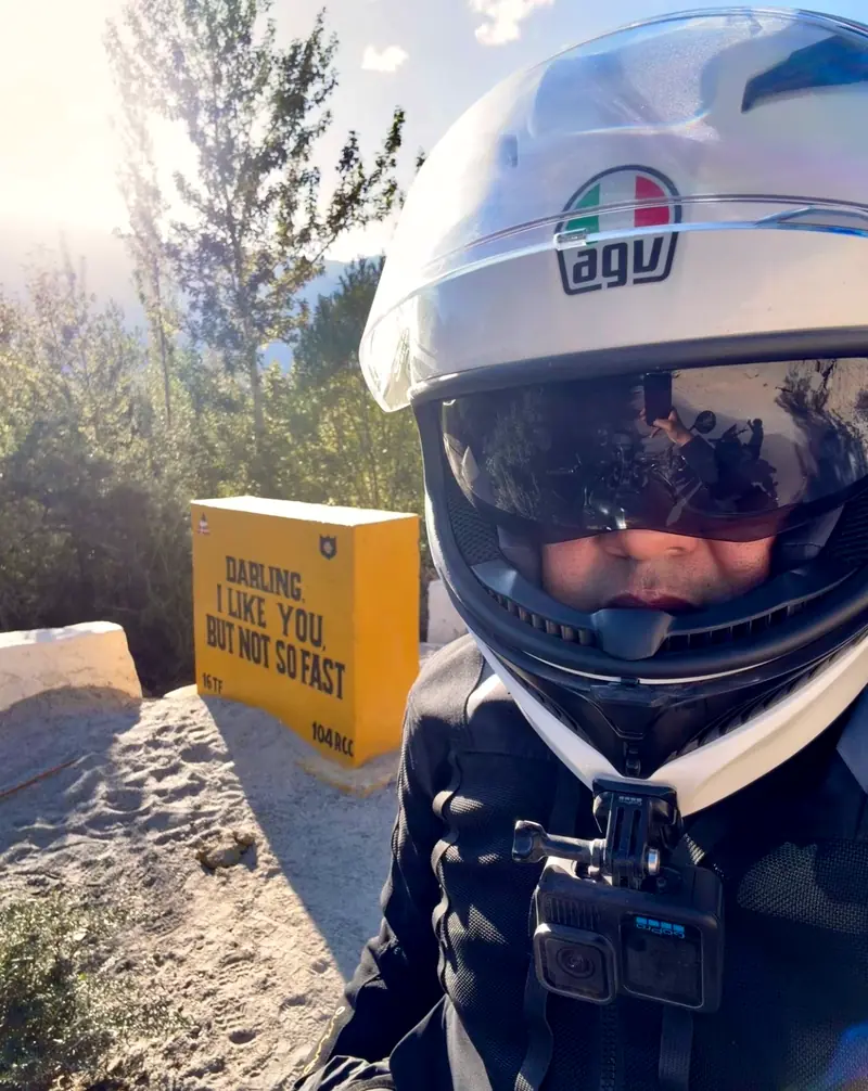
“Darling, I like you, but not so fast.”

Border Roads Organisation, roadside

LehKhardung LaSumurDiskitPangong TsoChang LaZanglaPadumPhugtalNUBRAZANSKAR

The route, roughly to scale. Two out-and-backs from Leh, then the long leg into Zanskar.
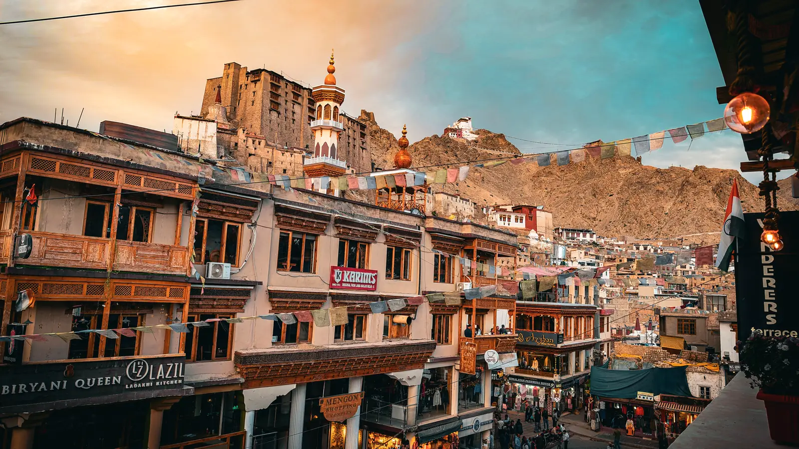
Leh Main Bazaar at dusk, with prayer flags across the street and Leh Palace on the ridge behind

Days 1–3 · Leh · 3,500 m / 11,500 ft

Walking pace

Leh makes you wait. At 3,500 metres (11,500 feet) the air holds two-thirds of the oxygen your body expects. The rule for the first two days is simple: do very little, slowly. So the trip begins on foot. Up the mud-brick lanes to the palace. Along the bazaar as the lights come on. Down again for tea.

Waiting, it turns out, is the right speed for this town.
Dawn view over Leh rooftops toward the snow-capped Stok Range
Six-thirty a.m., from the roof. The Stok Range, across the Indus, gets the sun first.
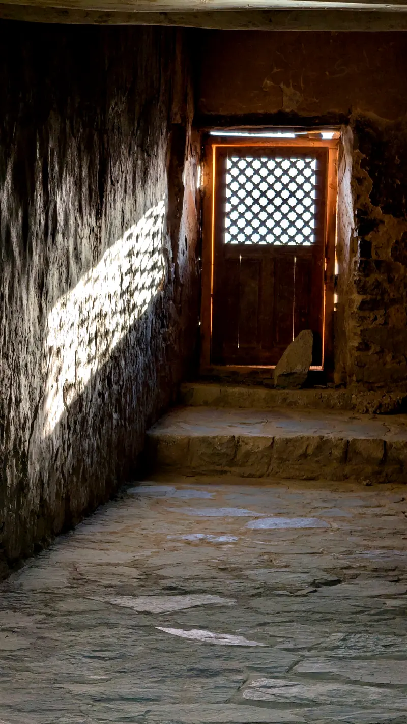
Sunlight through a latticed door into a stone corridor of Leh Palace
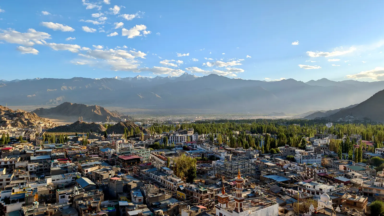
View from Leh Palace over the old town, poplar groves and the valley beyond

Leh Palace: seventeenth century, nine storeys of mud brick, mostly empty now. Light gets in where it can. From the roof, the town ends exactly where the water does.

White prayer flags strung above the rooftops of Leh old town
Namgyal Tsemo temple on its rocky crag above Leh in golden evening light

Namgyal Tsemo, the fort above the palace, collecting the last of the day.

A row of white chortens with red spires above a line of prayer wheels
Pink cosmos flowers growing beside a whitewashed house in the old town

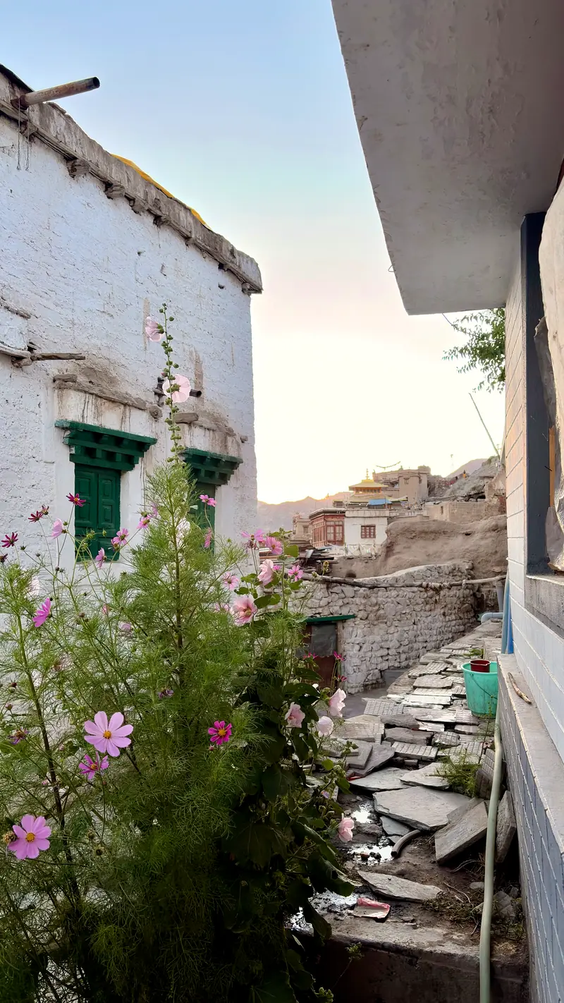
Prayer wheels in the old town, and cosmos gone feral in every yard. September is the last soft month before the cold comes down.
Day 4 · Leh → Sumur · Khardung La, 5,300 m / 17,400 ft

Over the wall

North out of Leh the road climbs 1,800 metres (5,900 feet) in forty kilometres (25 miles), to the pass the signs call the highest motorable road in the world. The claim is contested. Your lungs will not join the argument. Then the north side opens and the argument ends: two hours of falling switchbacks into another country, where rivers braid silver across gravel beds a kilometre (over half a mile) wide.

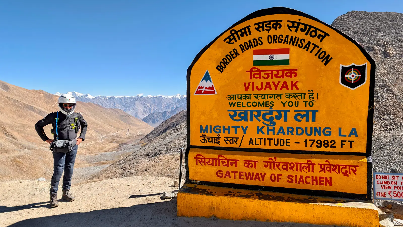
Rider in motorcycle gear standing beside the yellow Khardung La summit sign reading Mighty Khardung La, altitude 17,982 feet, Gateway of Siachen
The sign says 17,982 feet (5,481 metres). Surveyors say a few hundred less. Up here, nobody is counting.
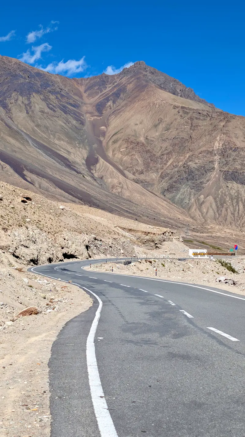
Empty curve of tarmac descending the north side of Khardung La between bare mountains
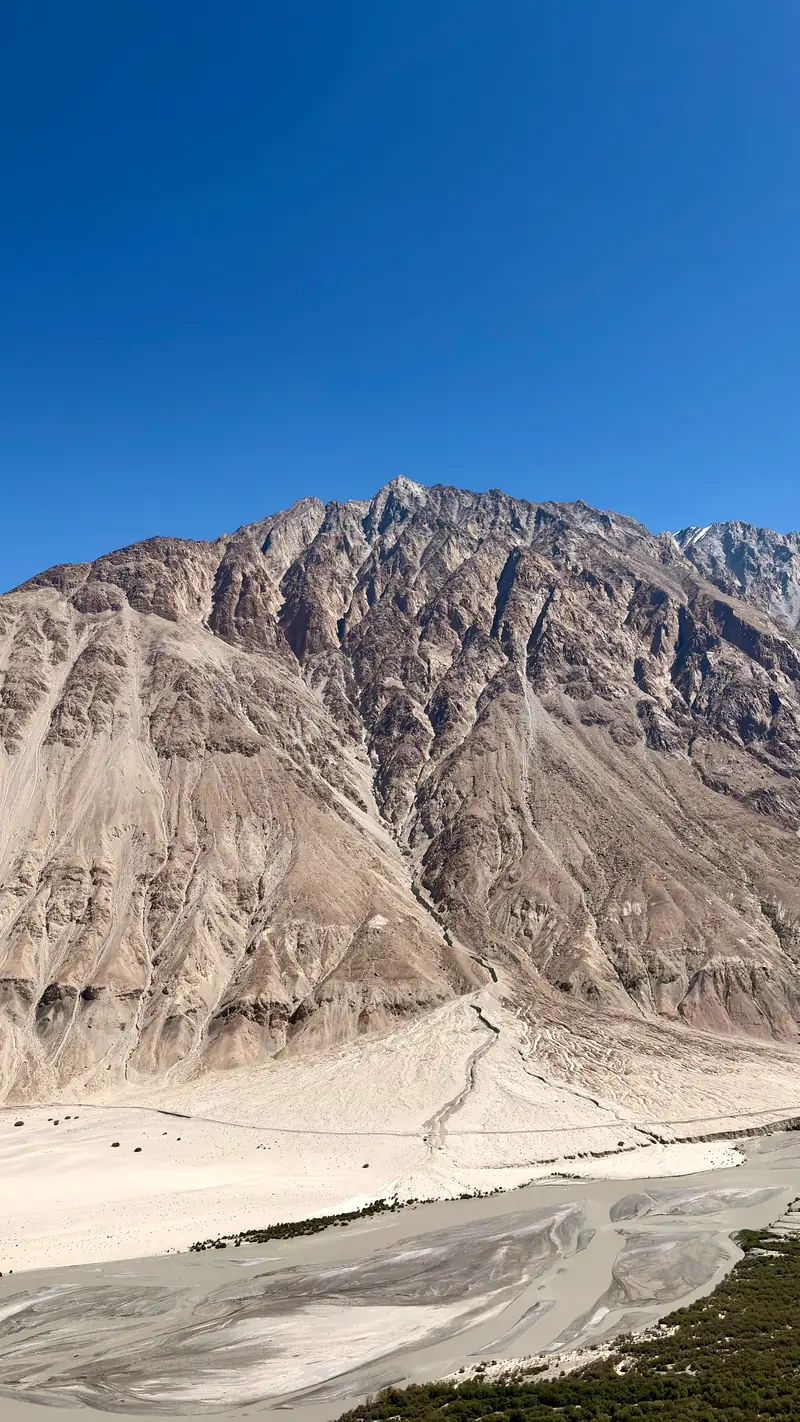
A vast scree mountainside above the braided channels of the river in the Nubra Valley

Down the north side, where the scale stops registering until something small moves across it.
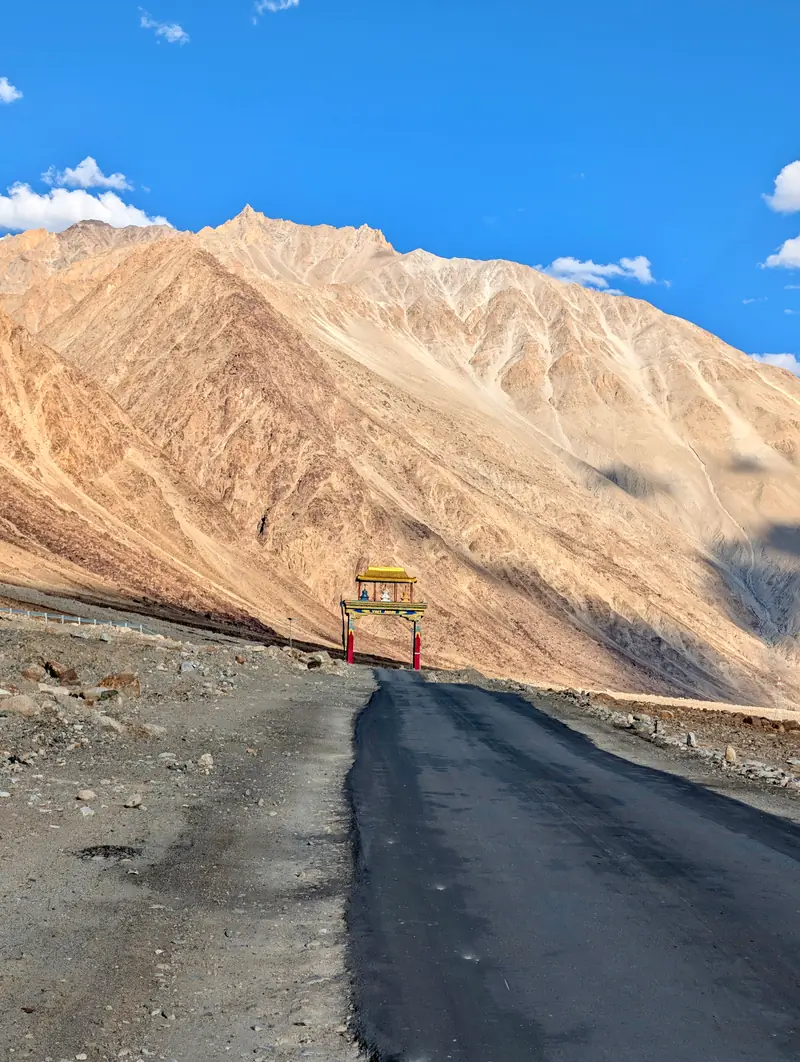
Panorama of the wide braided Shyok river valley with a welcome gate on the road
The Shyok below Khalsar, taking up as much room as it likes.
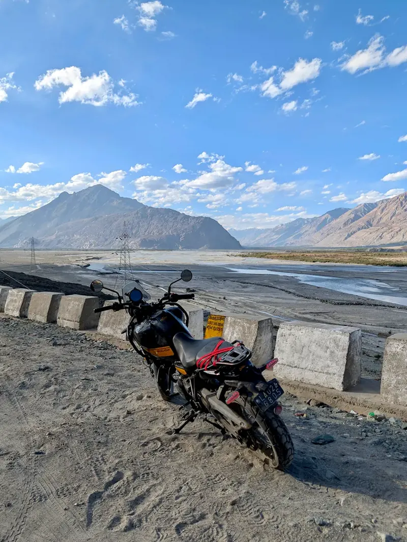
A loaded Royal Enfield Himalayan parked at a guardrail overlooking the valley
The Himalayan, doing what it’s named for.
Bactrian camels with two humps standing at a feeding rail in a roadside pen
Bactrian camels, two humps each. The Silk Road left, and forgot to take them.
Snow peaks and golden evening mountains reflected in a still pond near Sumur

Days 4–6 · Sumur · Panamik · Diskit · Hunder · 3,100 m / 10,200 ft

The green seams

Three nights at the edge of Sumur, in a camp among the poplars. Nubra lives on snowmelt and one short summer: barley, sea buckthorn, apricots, then the long shut door of winter. The days sorted themselves into rides. The evenings sorted themselves into tea. It is hard to say which were better.
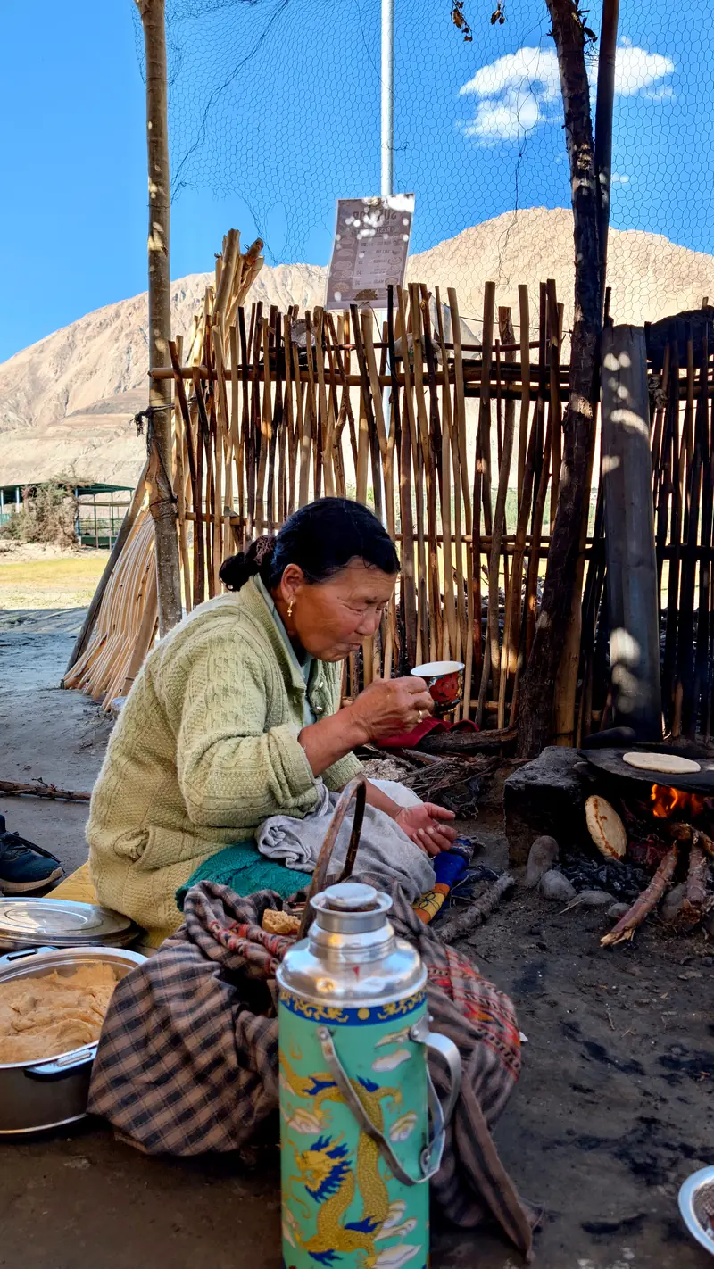
A woman making flatbread over an open wood fire beside a large patterned thermos
Sumur. The kettle never quite leaves the fire.
A villager walks past a whitewashed chorten in Sumur village at dusk
Evening rounds, Sumur.
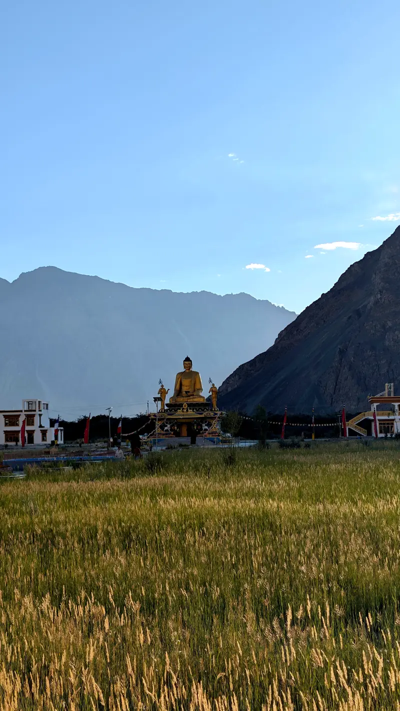
A golden seated Buddha statue rises beyond a ripening barley field in evening shadow
A Buddha above the barley.
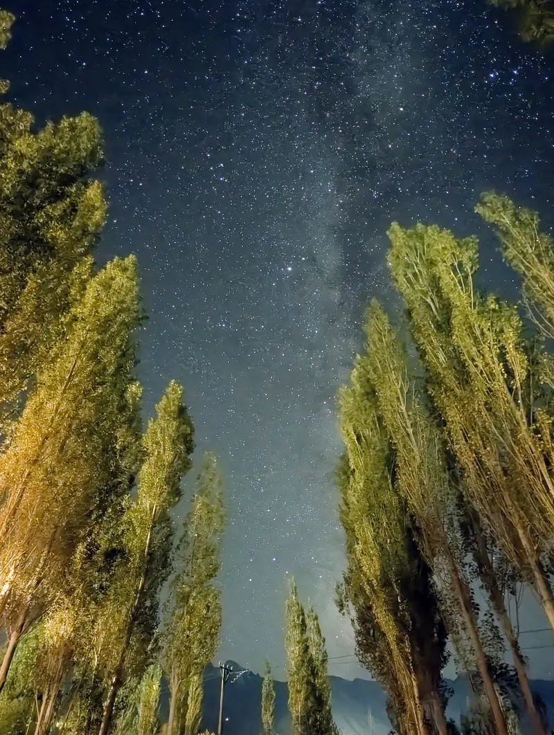
The Milky Way in a star-dense sky framed by tall poplar trees
Ten p.m. Straight up, through the poplars.
Up-valley, toward Panamik. Traffic: nil.
A small stone cairn on a boulder above the braided channels of the Nubra river
The Nubra, doing as it pleases with its bed.
The painted welcome gate of Diskit dwarfed by an immense scree slope behind it
Diskit announces itself. The mountain doesn’t bother.
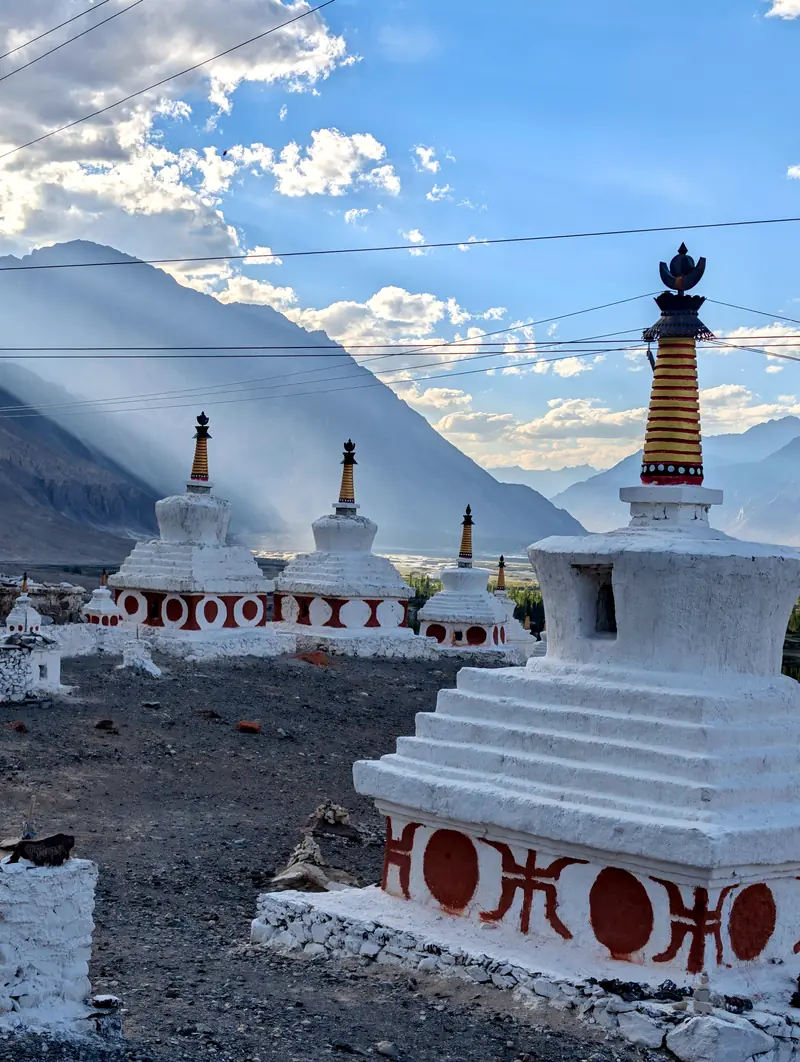
Whitewashed chortens at Diskit with a golden-lit mountain wall behind
Chortens at Diskit, late light.

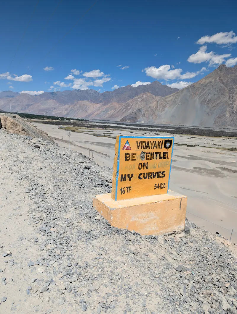
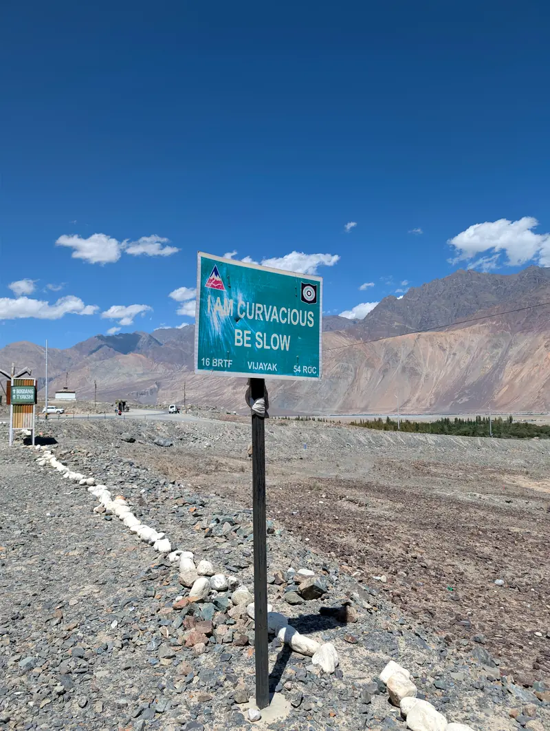
The BRO’s yellow boards keep up a running commentary the whole way down the valley: road-safety doggerel with the persistence of a younger sibling. By the third one, you stop. By the fourth, you’re fond of them.

Green road sign reading: Drive with whiskey is risky
Yellow road sign reading: Be gentle on my curves
Green road sign reading: I am curvacious, be slow

The Border Roads Organisation, flirting.

Helmet selfie in front of the yellow sign reading: Darling I like you, but not so fast
The author, taking the advice under advisement.
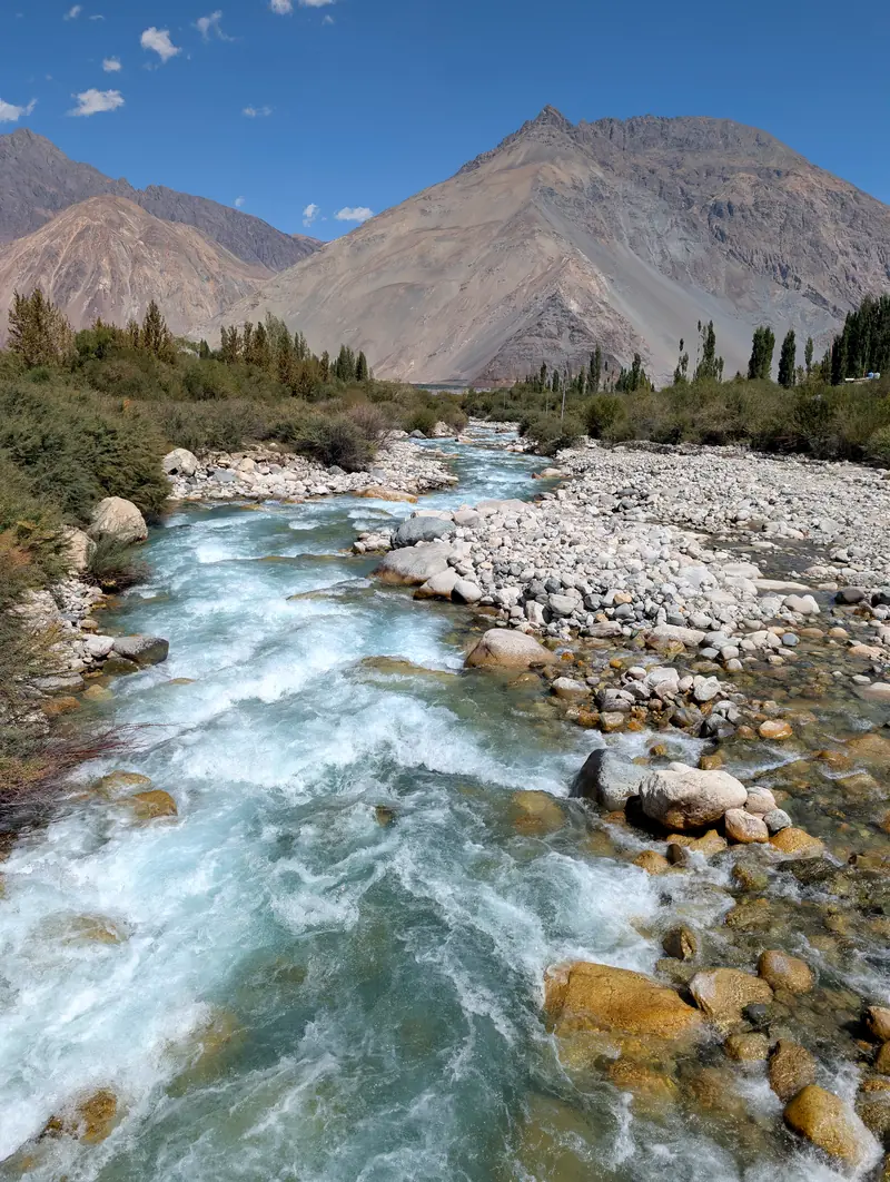
Past Hunder the road crosses whatever the glaciers send down. The glaciers send plenty.
A glacial stream rushing white over stones toward the valley
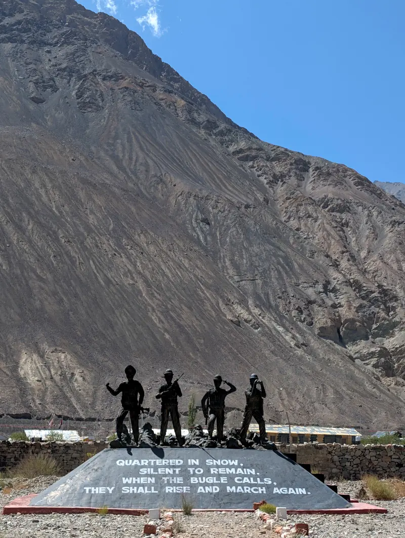
Bronze statues of four soldiers on a stone memorial beneath a huge mountainside
A memorial where the road bends toward the Line of Control: “Quartered in snow, silent to remain. When the bugle calls, they shall rise and march again.”
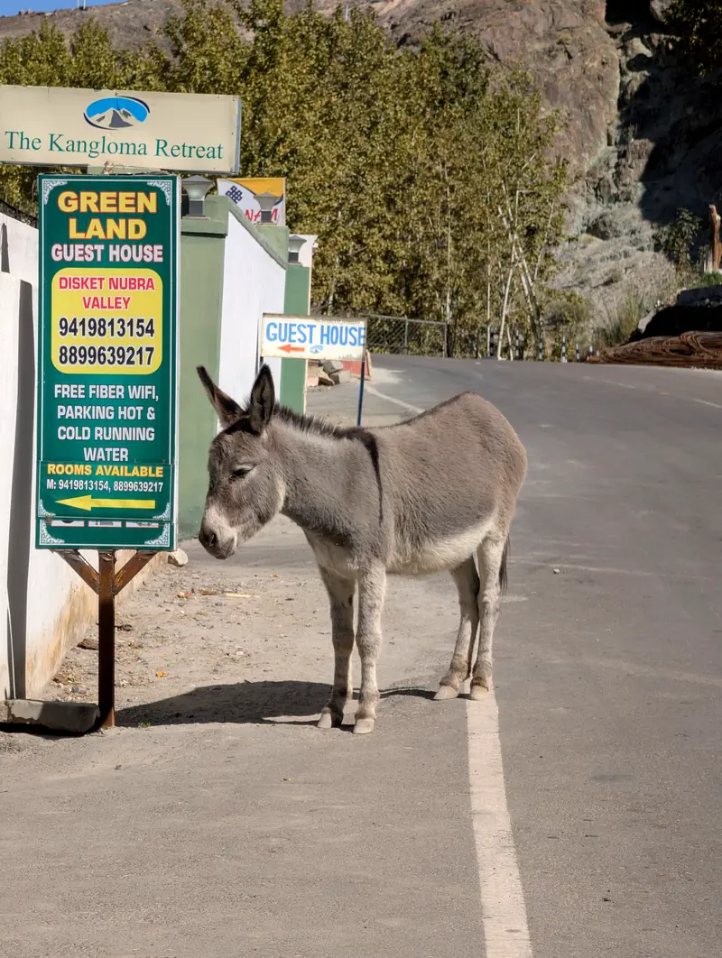
A grey donkey standing on the road directly in front of a guesthouse signboard
Reception committee, Diskit.
Pangong Tso at evening, the water flat and pale, mountains doubled in reflection

Days 7–8 · The Shyok road → Pangong Tso · 4,200 m / 13,800 ft

The colour is real

From Nubra to Pangong there’s a shortcut: the Shyok road, pinned between the river and the rock, closed whenever either objects. It saves half a day. It charges for it in stream crossings.
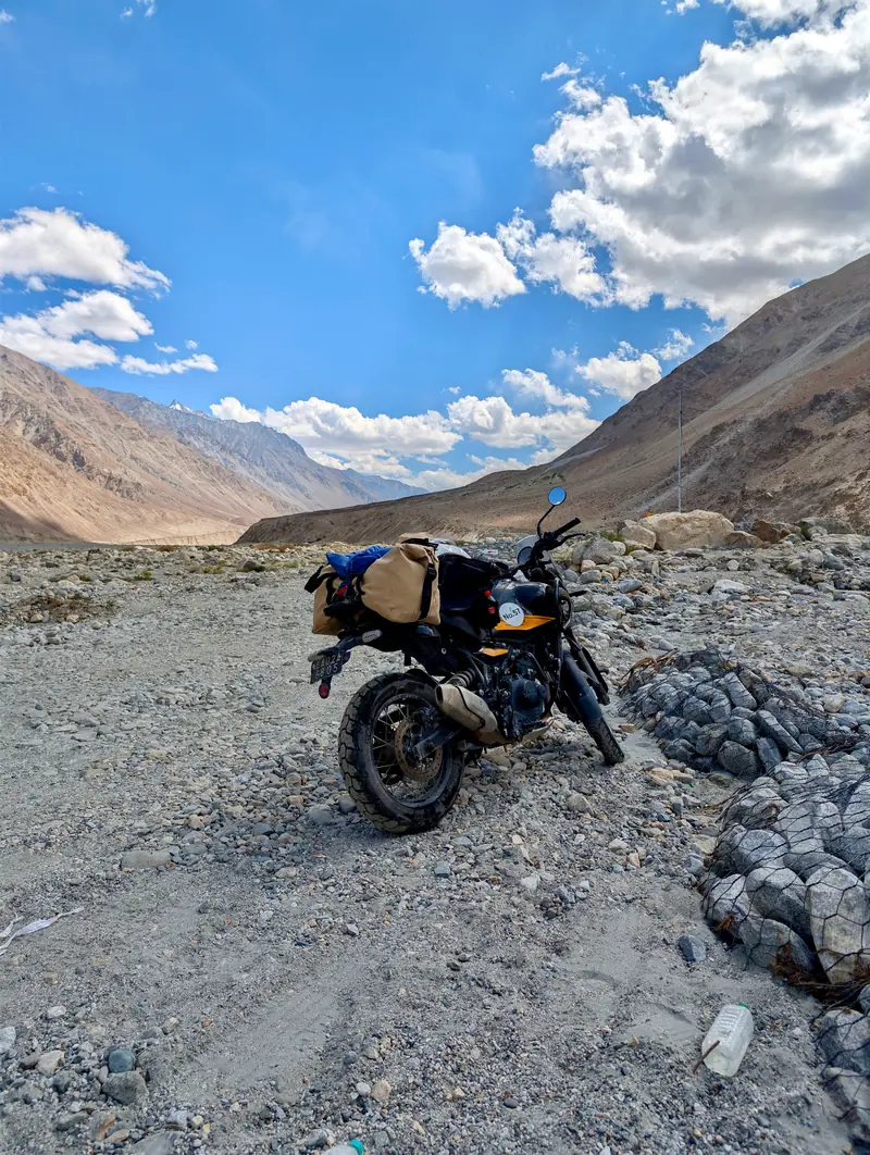
The packed motorcycle in morning light on the Shyok road, mountains behind
Packed for the Shyok road.
The road shares its bed with the river. Traffic negotiates.
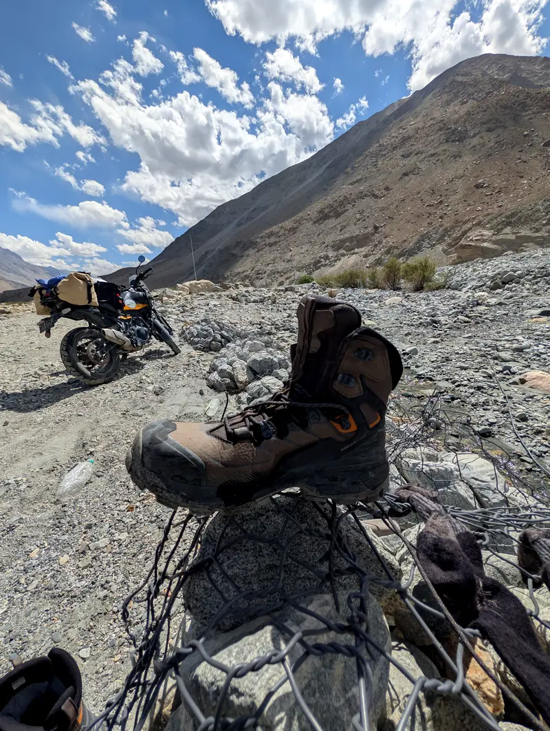
A wet hiking boot drying on a wire gabion beside the parked motorcycle
Crossings were misjudged. Boots dried.
The shore road to Spangmik.
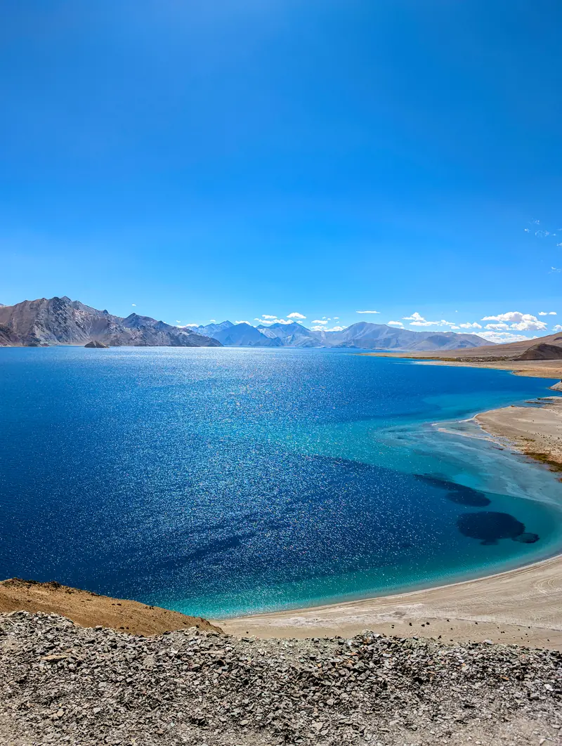
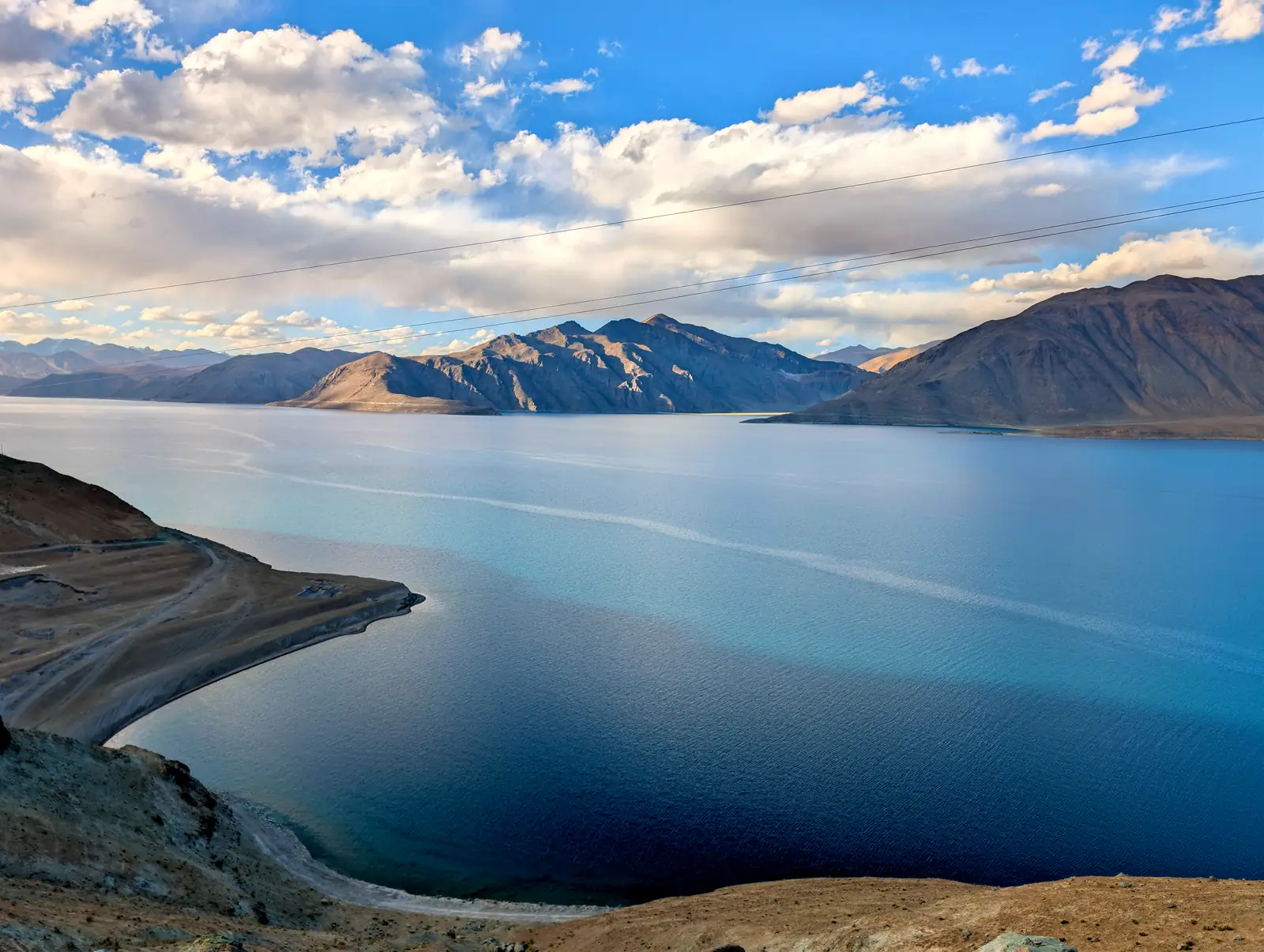
Pangong Tso stretching to the horizon in bands of deep blue

Pangong Tso: 130-odd kilometres (about 80 miles) of lake. A third in India. The rest in Tibet.

Brackish, so almost nothing lives in it. At 4,200 metres (13,800 feet), not much lives around it either.

People cross two mountain ranges anyway. For this.
A dense field of stars and the core of the Milky Way over Pangong
Nine p.m., over the lake. The far shore is another country.
Morning at Pangong, the shallows turquoise over pale sand
Morning. Same water, new opinion.

Day 8 · Pangong → Leh, via Chang La

Back through the middle


Back over Chang La, where September was already rehearsing winter, then down into the willow shade of the Indus. Laundry. Momos. A walk through the old town without gasping. The altitude, at last, conceded.

The road at Chang La beneath a snow-streaked peak
Chang La.
A whitewashed lane in Leh old town with a carved wooden balcony overhead
An ancient gnarled tree trunk arching over a narrow old-town passage

The old town, built for shade and defence, keeps both habits.

A bazaar street in Leh ending at the golden dome of a gurdwara
Main Bazaar; the gurdwara’s dome at the end of the street.
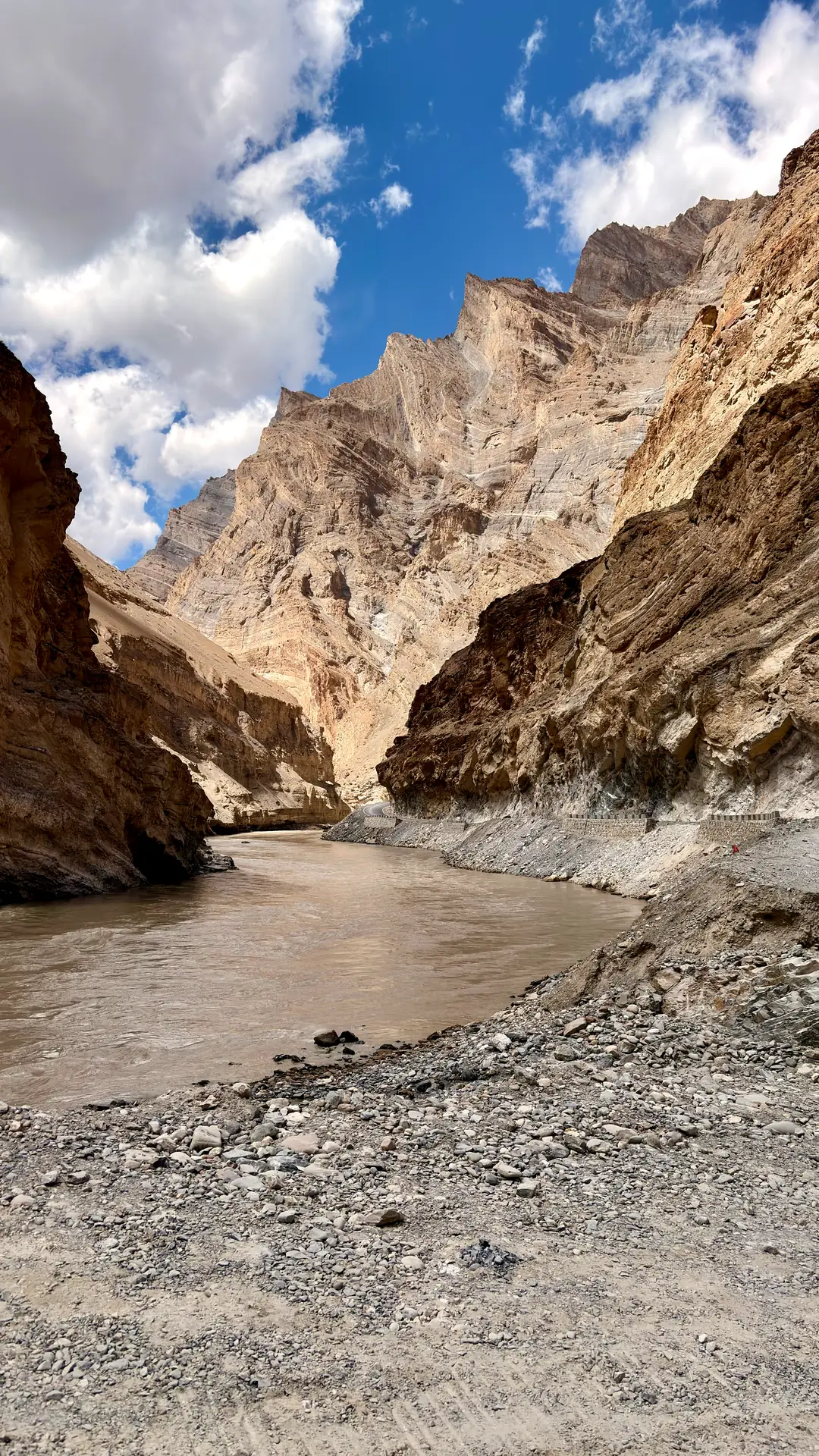
The silt-brown Zanskar river running through a sheer rock gorge under broken clouds

Day 9 · Leh → Zangla · the Zanskar road

The valley behind the valley

For most of living memory, Zanskar was reached on foot. Weeks over the passes, in summer.

Or in deep winter, on the chadar: the frozen skin of this river, walked, carefully, on ice.

The new road does the obvious, impossible thing. It follows the river through the gorge. Days become one.

The valley is still catching its breath. At its head sits Zangla, once a kingdom of its own, and a small one. In 1823 a Hungarian scholar, Csoma de Kőrös, wintered in the fort here with a local lama and began the first Tibetan–English dictionary. He worked, the story goes, wrapped in sheepskins against the cold.
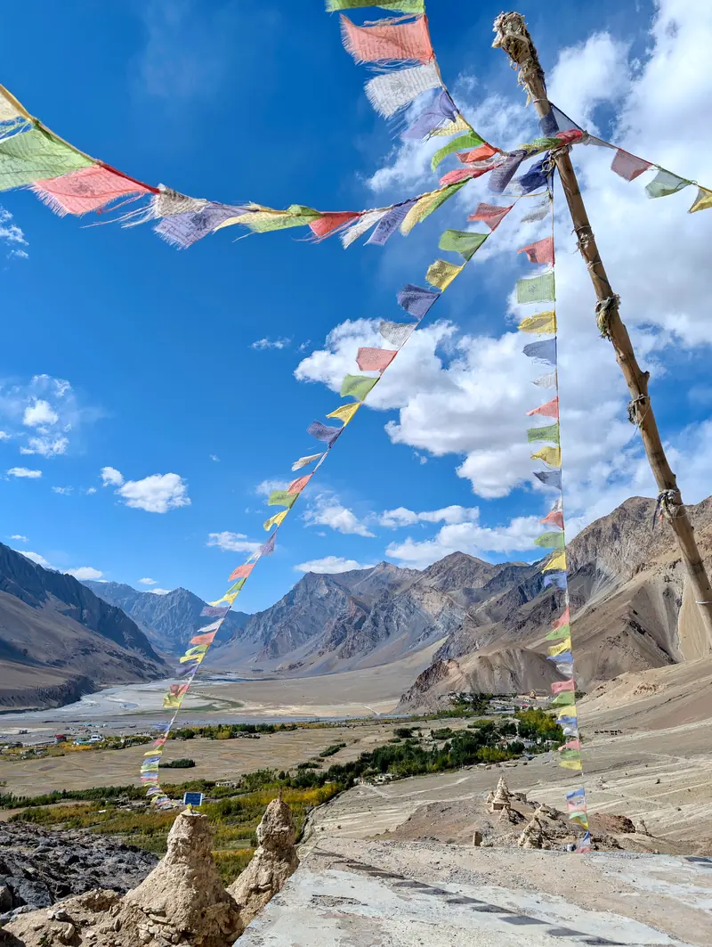
Prayer flags strung from a pole above a green village with chortens far below
A stone-walled village lane with prayer flags and old houses

Out of the gorge, the valley opens: villages again, and the wind in the flags.
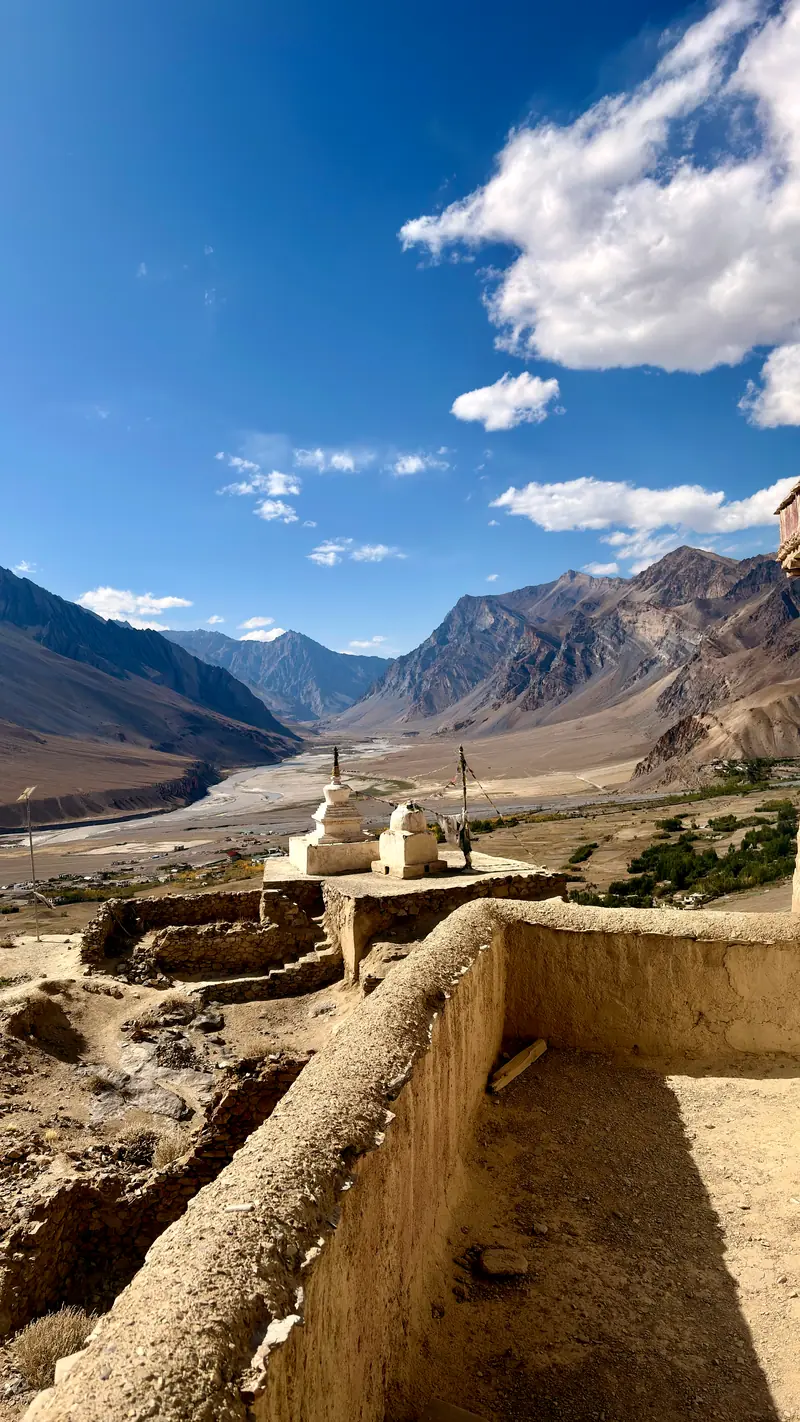
Old chortens at the edge of Zangla with the broad Zanskar valley beyond
Zangla, above the widest reach of the valley.
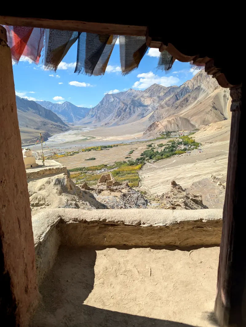
A view through an old timber window frame across the wide valley floor
A mud-walled corridor opening onto chortens and mountains
A large painted prayer wheel on a porch overlooking the valley
The prayer wheel gets the best view in the building.
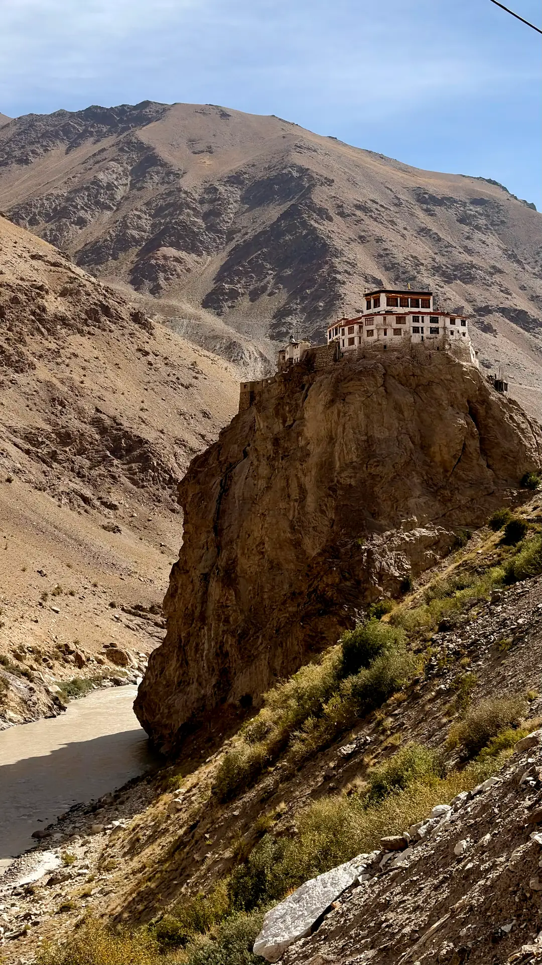
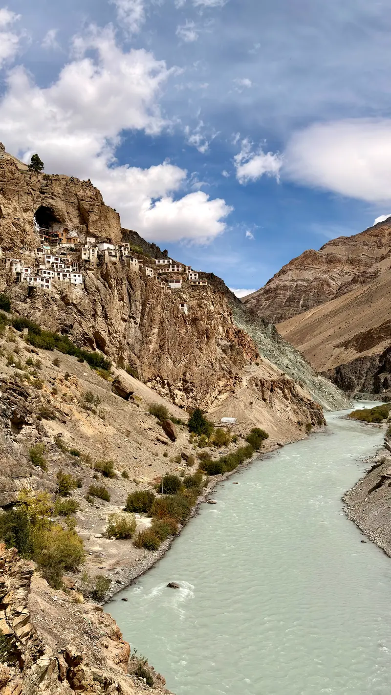
A monastery perched on a sheer rock outcrop above the river, on the road south of Padum

Day 10 · Lungnak valley · Phugtal Gompa, 3,850 m / 12,630 ft

The monastery in the cliff

Past Bardan Gompa, on its rock above the Tsarap, the tarmac thins. Then it quietly gives up.

The last hours are on foot, on a mule track cut into the slope.

Some places you should have to earn.

Phugtal has been growing out of a cave mouth for some nine hundred years, founded, the tradition holds, by Jangsem Sherap Zangpo in the early twelfth century. It is still supplied the way it always has been: by mule, one load at a time.
Supply traffic on the bridge over the Tsarap.
Two pack mules in yellow saddle blankets on the trail above the river
Everything the monastery eats, burns or builds with comes up this path.
Phugtal monastery's white honeycomb of buildings above the green Tsarap river
First view of Phugtal monastery, white buildings pouring down the cliff below a huge cave, with pack mules on the trail
Phugtal: the cave, and the monastery poured down the cliff beneath it.
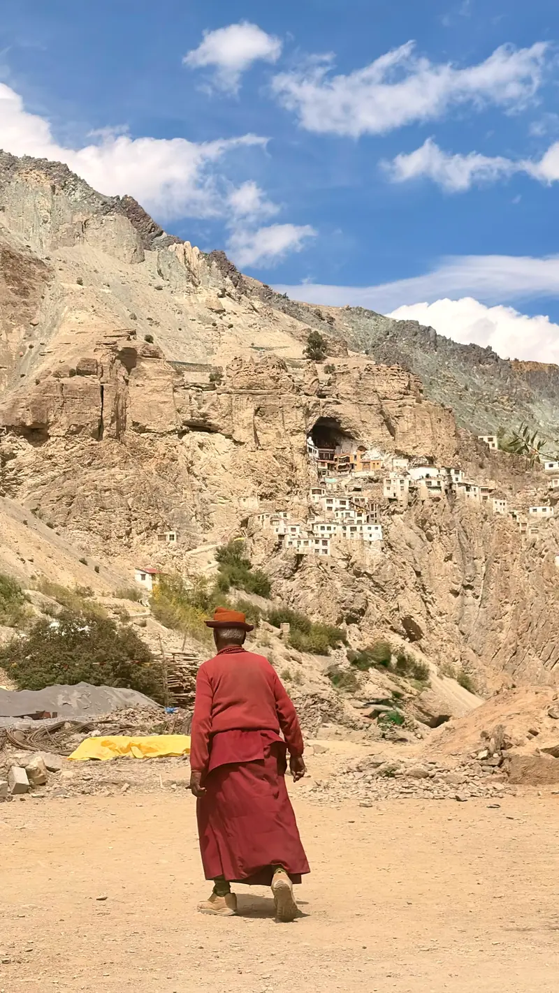
A monk in deep red robes walks the dusty trail toward the monastery village
Commute.
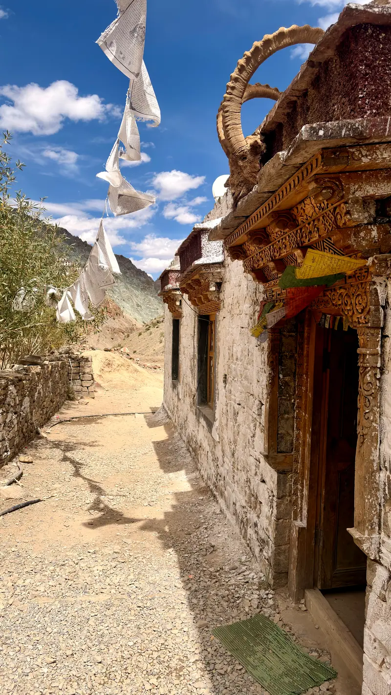
Ibex horns mounted above a monastery doorway, prayer flags streaming overhead
Ibex horns at the door.
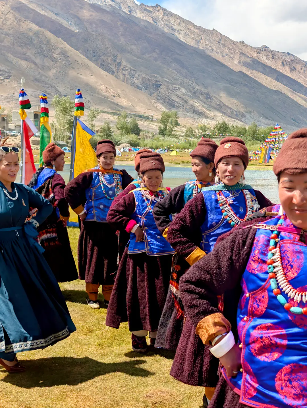
Women in traditional Zanskari dress, woolen robes and turquoise jewellery, gathered by the water with ceremonial flags

Day 11 · Stongde & Karsha · 3,500–3,800 m / 11,500–12,500 ft

A festival, uninvited but welcome

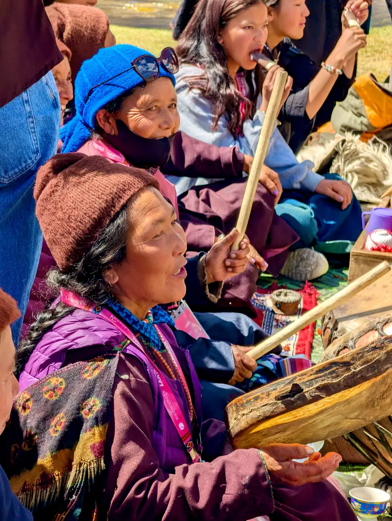
Zanskar’s two great monasteries face each other across the widest reach of the valley: Stongde on its ridge to the east, Karsha spilling down the mountain to the west. The plan was a quiet day of assembly halls. The valley had other ideas. A festival on the Karsha side, the whole village out by the water in its best: gonchas and turquoise, drums, butter tea by the kettleful. Ten days of rock and wind, and then this.
A carved wooden monastery balcony high above the Zanskar valley floor
Stongde, from the monastery balcony.
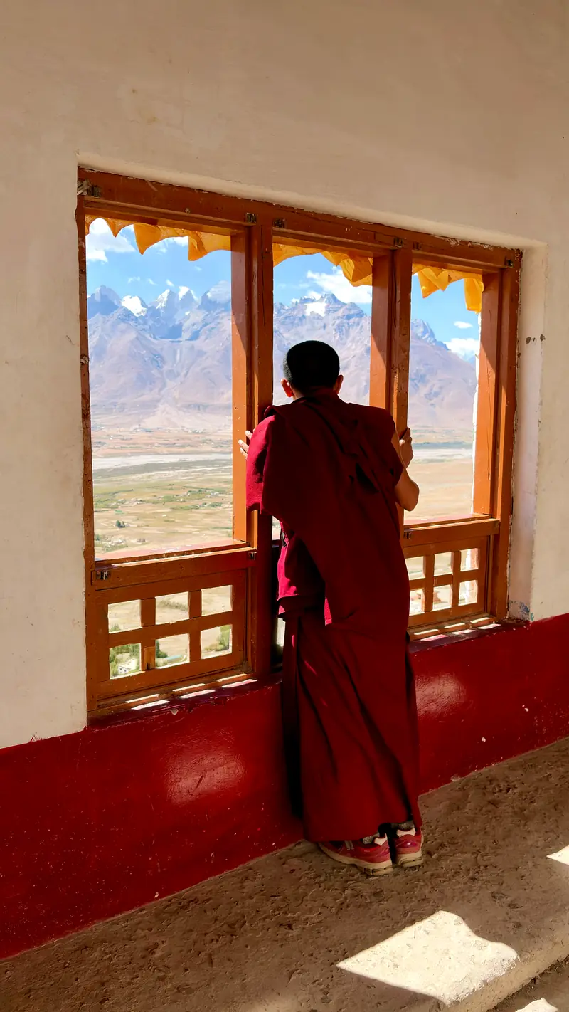
A monk leans on a window sill looking out over the valley and distant peaks
Looking west over the whole of central Zanskar.
Seated women singing and beating hand drums at the festival
The drums arrive.
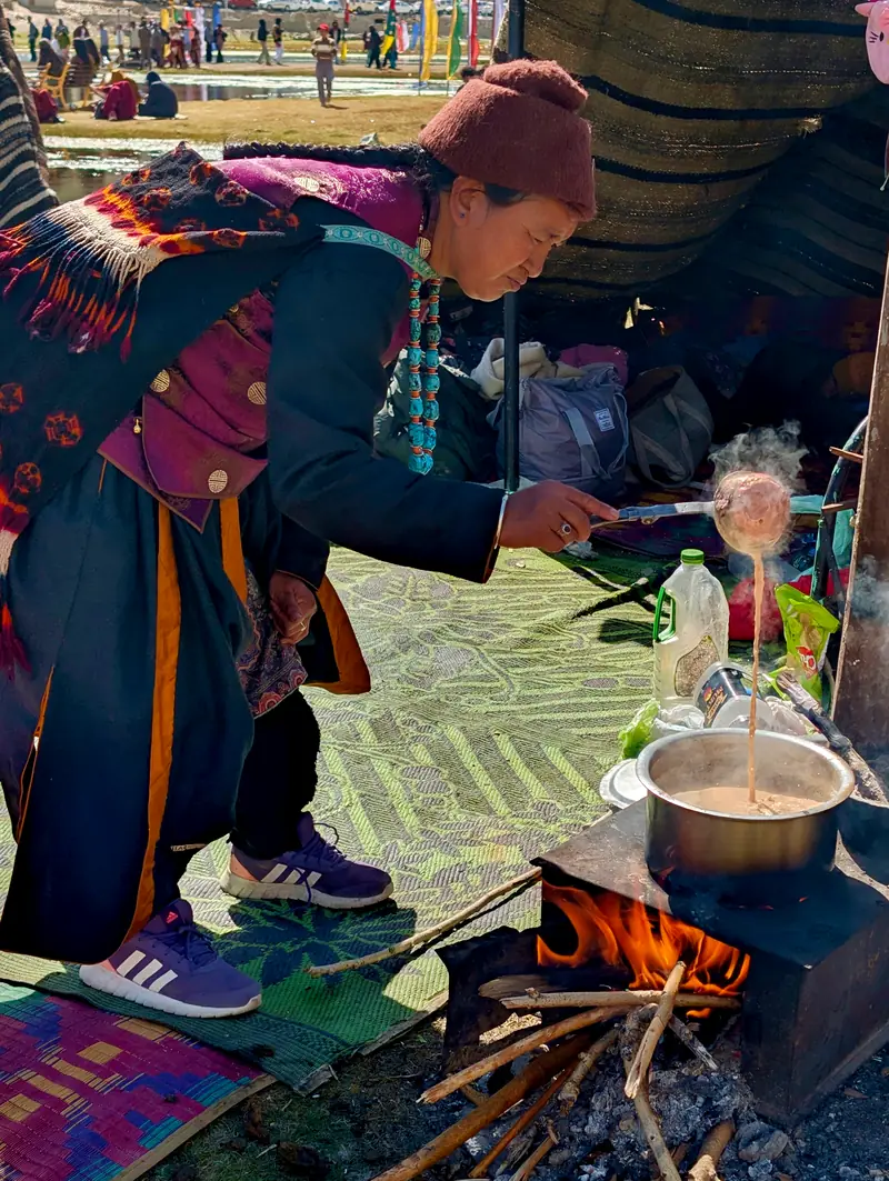
A woman ladles butter tea from a steaming pot over a wood fire inside a tent
Butter tea at festival scale.
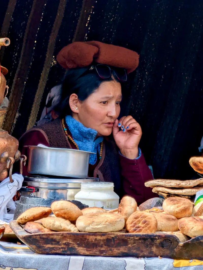
A woman beside a wooden tray piled with round flatbreads and a pot of butter tea
Bread, tea, and the person in charge of both.
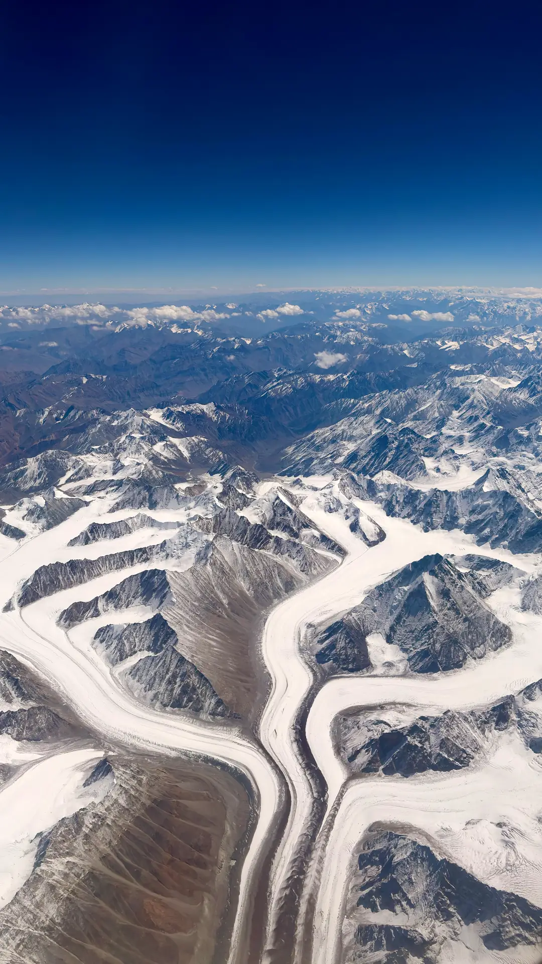
Glaciers converging between snowbound ridges, seen from the aircraft window

Day 13 · Leh → Delhi

From the plane the whole route fits in one window. Ranges behind ranges, glaciers feeding rivers, rivers feeding valleys. Somewhere down there is the camp among the poplars. The bridge with the horse on it. The women by the water, still singing, for all I know.

Twelve days to ride it. Forty minutes to fly over it.

Not so fast, the signs kept saying. It took all twelve days to hear them.

Some places you pass through. This one passes through you.